Project Design
Many junior companies and investors fall into traps with ineffective, overpriced, and uncollaborative service providers who can’t deliver what the project really needs to move forwards. We offer structured guidance and advice on the formalisation and structure of mineral exploration work, from corporate seats to hammers hitting rocks. We ensure clear goals and targets are met between all involved, to deliver high-quality valuable data, budgeted realistically to your needs.
Project Delivery
Reliable on-site exploration & team management to ensure your project runs safely, on-time, on-budget, and to strict QAQC standards.
Team & Technical Skills
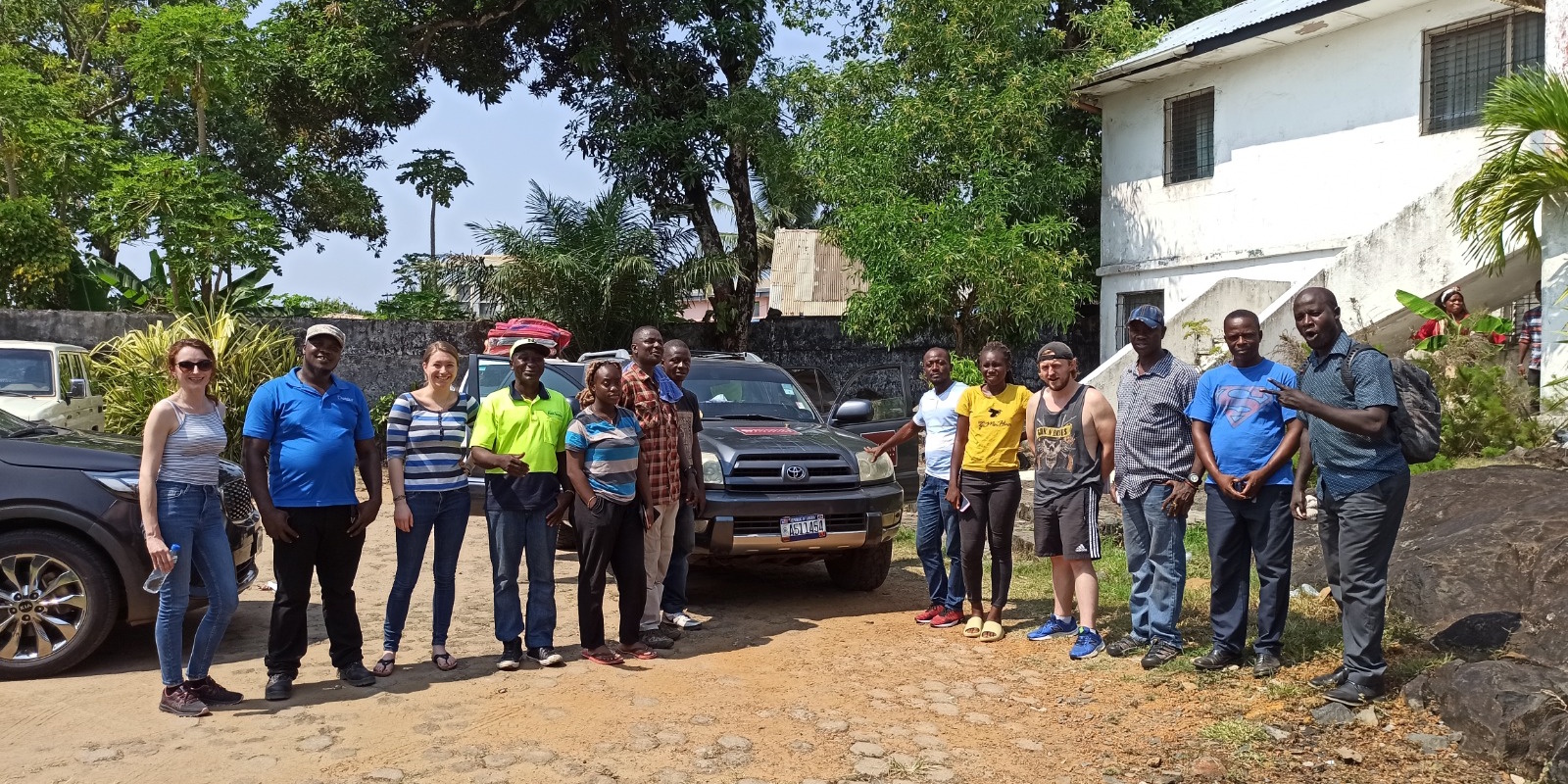
We have worked alongside an extensive ‘black book’ of friendly, reliable, local and international, technical staff who may be available to support your project, whether for short or long-term deployment. From field assistants, to geologists, to accountants and c-level, we can ensure you build a collaborative and positive team with all the right languages and skills.
Due Diligence & Assessment
No, the company’s reports, IR teams, and presentations are not telling you everything. If you’re planning to make a significant investment or acquisition, we will happily visit the project and compile an independent report to represent your interests. We dig into the data for the project’s warts and red flags, before you risk your capital.
Geological Services
Our team love nothing more than trekking up the mountainside and slicing through jungle vines to map, sample, and learn about early-stage projects. We specialise in ‘first pass’ target ranking and presenting reliable & compliant data for you to develop your project with.
Research & Acquisitions
We have a database of hundreds of exciting early-stage and advanced projects with reliable data, valuations and direct connections to the owners. We regularly refer serious investors to our favourite projects and support their journey to acquisition and launching exploration.
Drone Orthophoto & 3D Surveying
A ‘Google maps’ screenshot is not a professional base for a serious exploration venture. We have 3 drones and one ground-cam that can run simultaneously to provide up to 1mm/pixel resolution target models & orthophoto tiles over your licence area. We can also generate 3D mesh models over priority target areas, including ground LiDAR for specific outcrops and drill sites. Mesh models are exceptional for investor presentations, 3D geological/resource modelling, estimating tailing/stockpile volumes, road/path/access building, pad and drill planning, and many more applications which might normally require a full site visit.
Community & Environmental Assessment
Whether you ask us to or not, we will include ESG monitoring and reporting in all of our projects, quotes and work programs as standard. If you plan to professionally develop, build, or vend any mineral project, you need to bring your local community on-side before even tying up your boot laces.
Without prior informed consent from the local population, it doesn’t matter how many metres of gold or copper you drill through, your project is worthless. Without a clean environmental report, it doesn’t matter what your technical report says, you can’t expect to ever be permitted for construction.
We love training local geologists to help communicate and complete environmental surveys, and we’re happy to meet community leaders to discuss the realities of exploration with them, so they’re fully informed and less likely to protest, when your geologists start swinging pickaxes in their garden.
A fully strategized and documented community and environmental plan in the early phases is highly cost-efficient and could be the difference between you owning a $0 project and a $200m project, if you make a discovery.